| Subject: | Re: [OM] Massacre! |
|---|---|
| From: | Mike Lazzari <watershed1@xxxxxxxxxxxxxxx> |
| Date: | Mon, 26 Aug 2019 12:59:06 -0700 |
Yes, you are right....or left as you turn left after coming up Glen
Etive. :) Go a short ways west. At the Meeting of Waters at the head of
Glen Coe. So not actually River Coe. Not Coire Gabhail and Geárr
Aonach. Robin and I hiked up there in 2014.
<https://www.walkhighlands.co.uk/maps/map2_11fw.shtml>
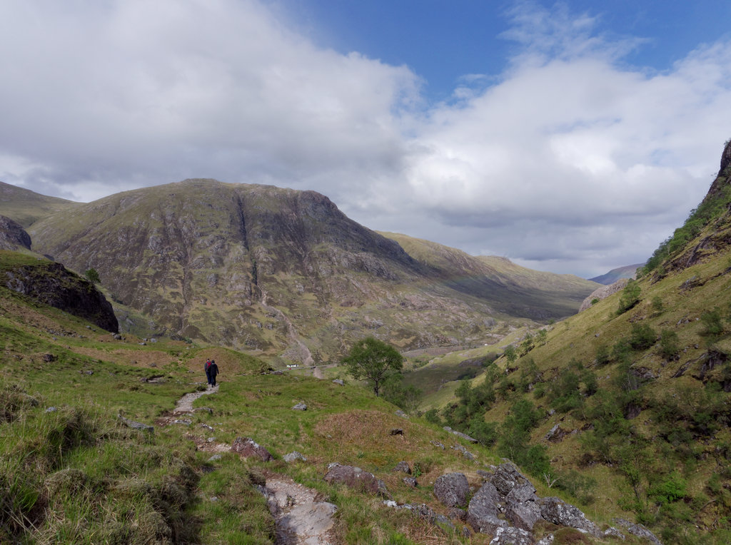
So it would be Beinn Fhada right (also shown as Buachaille Etive Beag) and Buachaille Etive Mor left. So somewhere near here: <https://mappingsupport.com/p2/gissurfer.php?center=56.663614,-4.905567&zoom=13&basemap=ESRI_topographic> Looking down to the East. You were in the glen near the right side of this photo. <http://www.interisland.net/watershed/mike/Scotland/LostValley0623_DxO.jpg> I have photos from that same spot as in your photo and will try to dig them up. You can compare side-by-side. Mike Mike I’ve had another look at the map and it’s not as far as Glen Etive. I had driven down that Glen before returning to the main road to continue west along Glen Coe. Perhaps the photo is of the Coire Gabhail, between Geárr Aonach (right) and Beinn Fhada (left), with the River Coe not quite visible in the foreground running across the shot. It’s interesting that it’s so difficult to pinpoint. Chris -- _________________________________________________________________ Options: http://lists.thomasclausen.net/mailman/listinfo/olympus Archives: http://lists.thomasclausen.net/mailman/private/olympus/ Themed Olympus Photo Exhibition: http://www.tope.nl/ |
| <Prev in Thread] | Current Thread | [Next in Thread> |
|---|---|---|
| ||
| Previous by Date: | Re: [OM] Massacre!, Moose |
|---|---|
| Next by Date: | Re: [OM] Facebook Outage, christrask |
| Previous by Thread: | Re: [OM] GPS Trackers [was Massacre!], Ken Norton |
| Next by Thread: | Re: [OM] Massacre!, ChrisB |
| Indexes: | [Date] [Thread] [Top] [All Lists] |